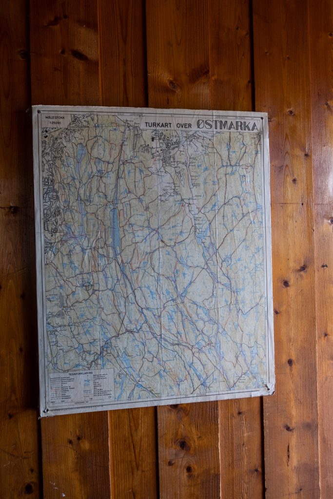
Inside the borders of Oslo we have Lillomarka, Nordmarka and Østmarka. But Oslomarka consists also of other areas of forest outside the borders of the city of Oslo. What these areas have in common is the mixture between forest, forest ponds, lakes and DNT-cabins. In order to access these cabins you have to be a member of DNT, but the forest areas are free and available for all every day.
The possibility to combine living close to a pulsating big city with the option of just hiding away in the forest is very important to me. Especially in these days of corona, where you’re supposed to keep distance from others, whilst still having the option to get som fresh air, the option of visiting the forest is priceless.
Oslomarka is by far one of the best things Oslo has to offer in my opinion. Not many capitals worldwide has has many square meters of forests both inside and close by as Oslo does. Where I grew up you spent just the same amount of minutes to get to the closest place for swimming in Østmarka as you spent on the metro getting into the city centre.
Here’s some of my favorites for great day trips you can have in Oslomarka.
Post last updated: 30th of April 2020
Nøklevann
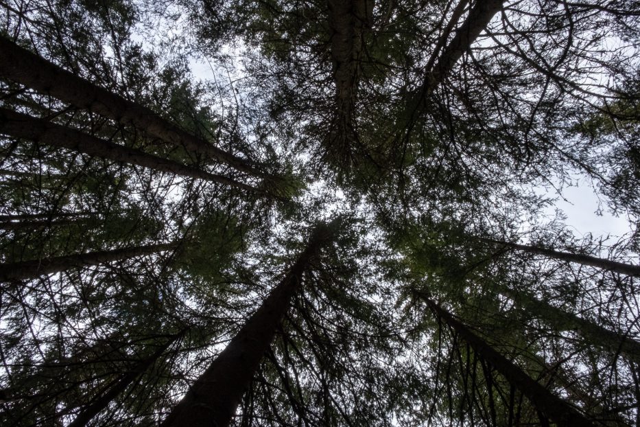
Nøklevann is a lake located in Østmarka which is about 3 km long. Here you have several great options for day trips, both for exercise, with a prawn og if you should want a local sleepover in the forest.
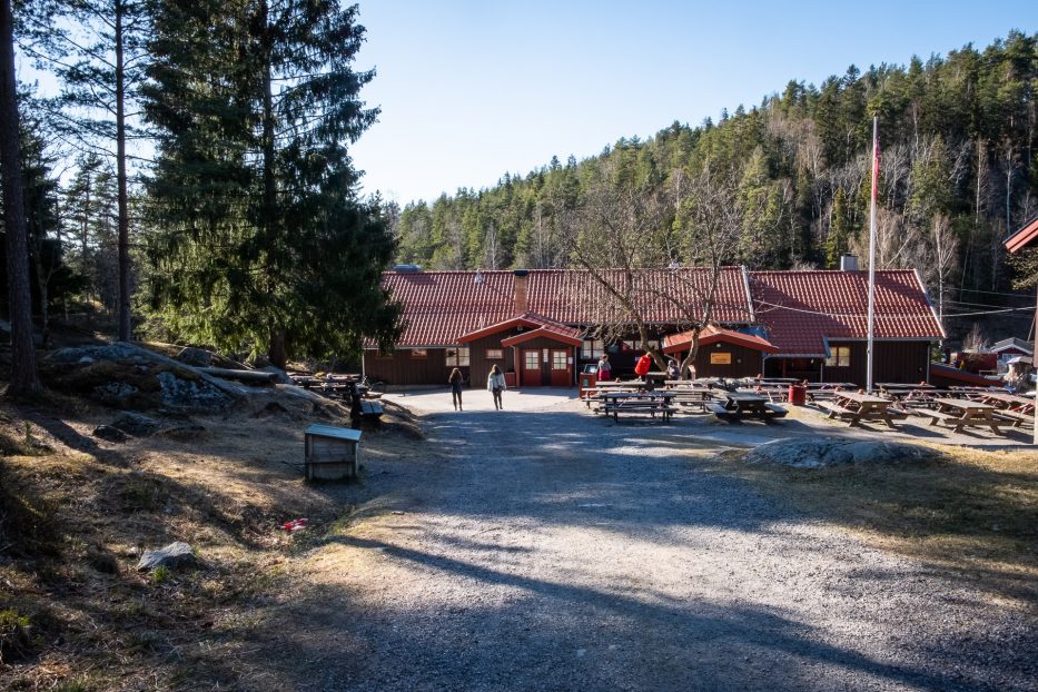
Located by Nøklevann you’ll find Rustadsaga sportsstue. Here you can buy one of the greatest pastries, or say hello to the animals who live here. If you sign up as a member at Nøklevann ro og padleklubb you can rent both kayaks and canoes.
Nøklevann also offers several great spots for swimming. Walking around the lake you’ll follow a path perfect also for those with a pram, a wheelchair or others who might not be fit for more challenging small paths.
If you’re looking for a spot to combine hiking, swimming and/or spending the night, both Kattisa, Bremsrud and Bråten will give you the opportunity. However, most places around the lake will offer spots you can camp, go for a swim and hang up your hammock.
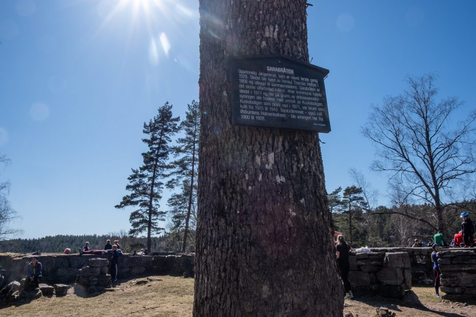
Another great spot to visit, which also includes some history, is Sarabråten. This was a holiday spot for the family Heftye from around 1850. Paths were made, buildings set up and the paddle steamer Sara carried people across Nøklevann. After Nøklevann got regulated as a drinking water resource in 1911 the usage of the boat stopped. You can still see the remains of the buildings and an exciting trail to this day at Sarabråten.
The walk around Nøklevann is a journey of about 8 km, but you can of course take one of the smaller paths, and find other great destinations around in the area.
How to get to Nøklevann
For more about Nøklevann, see this post that I’ve made earlier.
Østmarkskapellet (The Østmarka chapel)
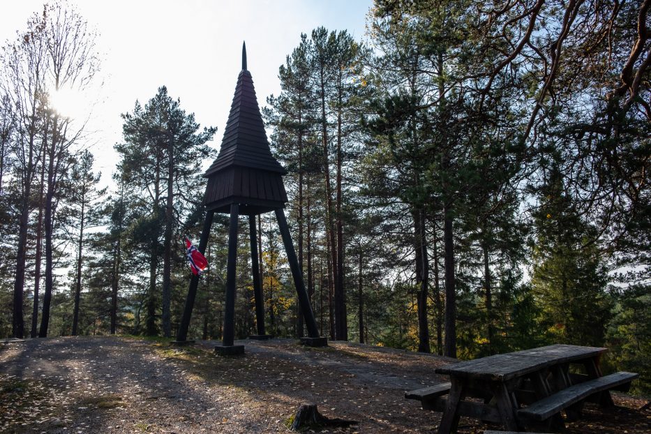
Østmarkskapellet is, as the name would suggest, an active chapel, with sermonies each Sunday. Normally you’ll be able to visit this place also just for buying a snack while hiking, and you can also find loads of nice spots to eat your lunch if you brought one.
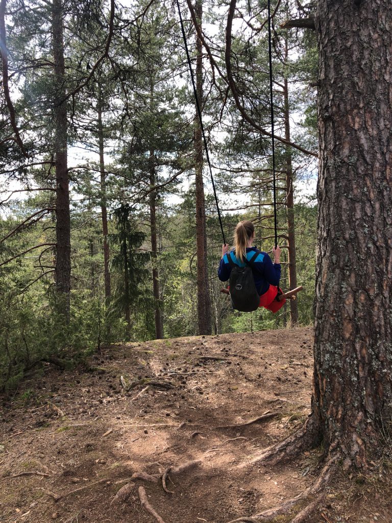
How to get to Østmarkskapellet
Catch the metro line 3 Mortensrud to Skullerud station. From here, follow Olaf Helseths vei until you hit a crossroad, and take to the left in towards Skullerudstua. You’ll also find a parking spot here, if you arrive by car. From Skullerudstua you can follow a path marked with blue towards Østmarkskapellet.
Adventure hike in Østmarka
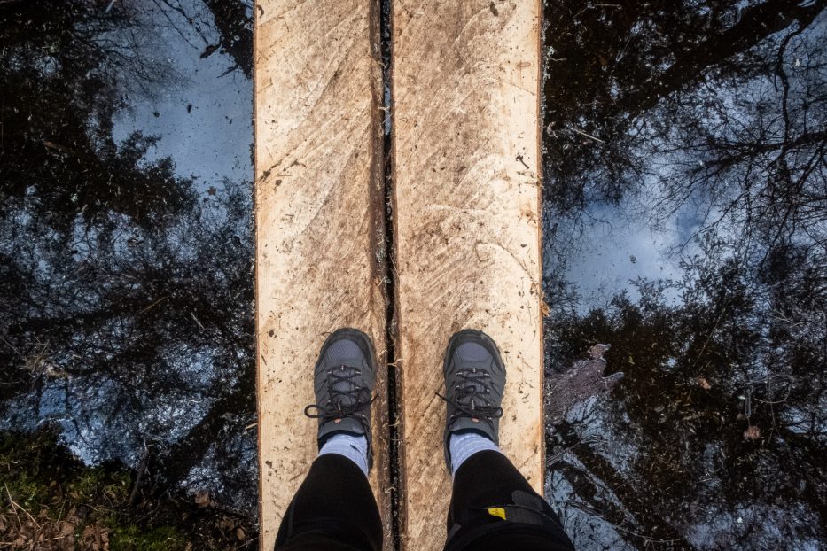
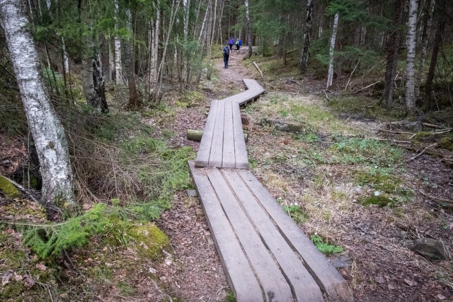
This hike is fantastic, but also a bit more hardcore. The total length from start at Bogerud metro station to the end of Skullerud metro is about 18 km. A lot of paths, rough terrain, ups and downs, and in general a hike which requires quite some time to accomplish – but filled with beautiful sceneries. We used this trip as inspiration, but walked it the other way around as we started out from Rustadsaga and ended up at Skullerud.
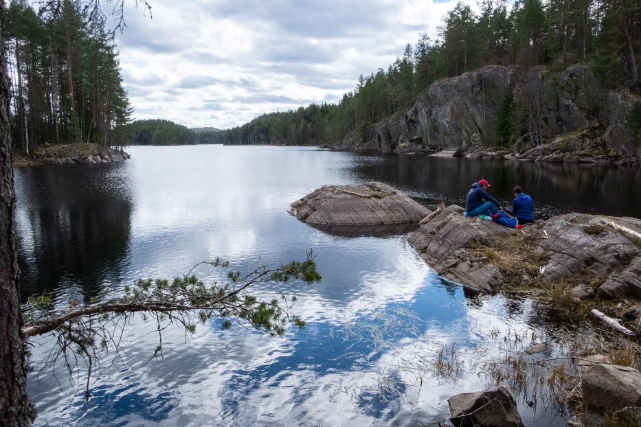
On this trip you’ll get both forest, nature, old forest, steep hills and stunning views and overlooks over waters. Great spots for lunch both around Nøklevann (Rustadsaga), Nord-Elvåga, Sør-Elvåga, Langvann, Rundvann and Smalvann.
How to get to the Adventure hike
Note: Between Spinneren and Sølvdobla we followed a way shorter path than the one Google suggests here. Just follow the blue marked path rather than Google between these areas if you want to save yourself several kilometers.
Sognsvann
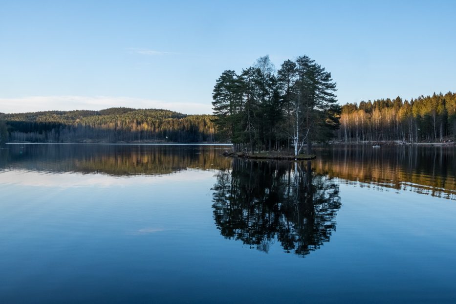
Sognsvann has to be one of the places for hiking in Oslo that’s by far easiest to get to. It’s easy and short distanced both by arriving with the metro or with your own car. From the metro station you’ll just walk a few meters until you’re next to the waterfront, and next to the station there’s a gigantic parking spot.
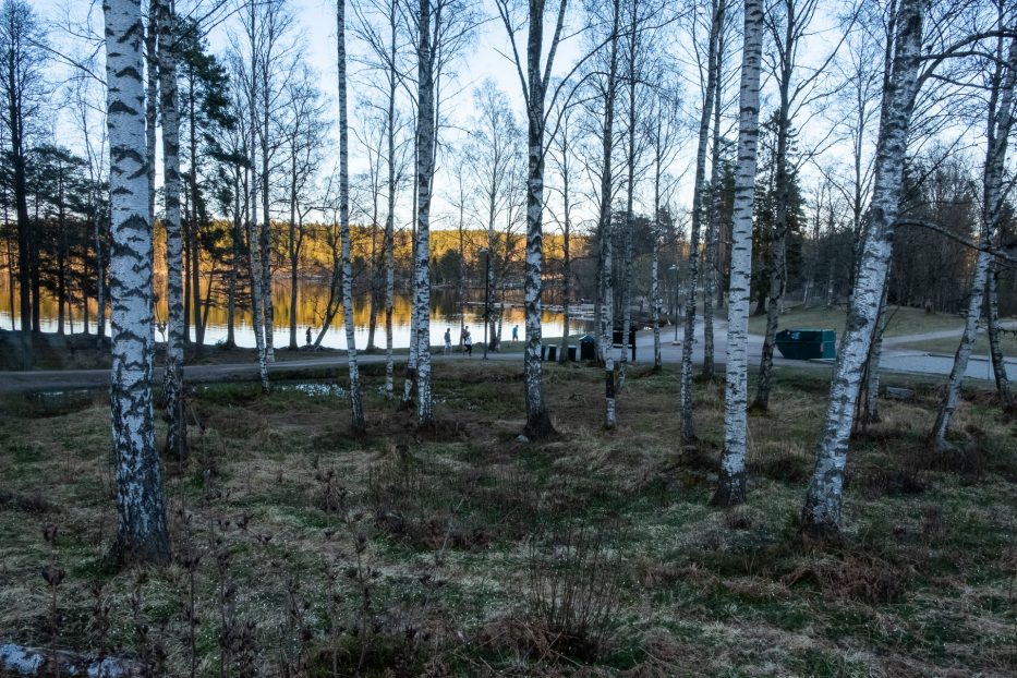
The walk around Sognsvann is about 4 km long, and consist of a road with no obstacles, meaning it’s great also for those with prams, wheelchairs or those not fit for more challenging pathways. Please mark that it’s forbidden to ride a bike around Sognsvann! This is an easy hike, which can be combined with a lot of other marked paths and roads in this area. To mention a few, both Lille Åklungen, Vettakollen and heaps more places are great destinations to start out from Sognsvann towards. Just follow the roads marked with blue (and/or red).
How to get to Sognsvann
For more about Sognsvann, see this blog post I’ve written up earlier.
Ullevålseter
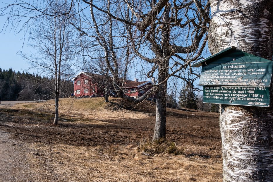
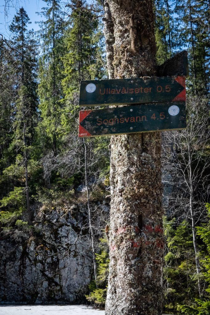
From Sognsvann to Ullevålseter and back again gives you a roundtrip of about 12,2 km. This hike is on a gravel road, with a couple of hills, but it works like a charm both for walking, running, biking og for those wanting a bit of a longer hike with their pram or wheelchair. While at Ullevålseter you can have a break, cause here they sell both coffee, cakes and food.
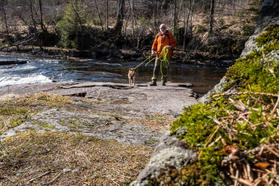
Sognsvann to Ullevålseter
Maridalen:
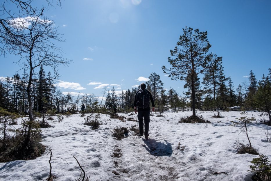
Maridalen is an absolutely stunning area in Oslomarka. Here you’ll arrive with the bus no. 51 Maridalen, which departures hourly. (PS! This bus is often very crowded, also during these corona-days, so make sure you travel outside of the hours “everyone else” is, or the bus might just drive past you). The bus goes from Nydalen metro station, up on the main road outside of BI (school).
To arrive in Maridalen is like getting out far on the countryside – yet you’re still in Oslo. This is a quiet and peaceful area, and you’ll pass several farms while walking.
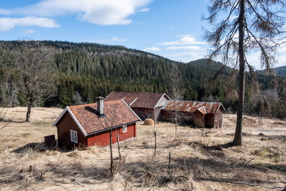
Hammeren – Skjærsjødammen – Ullevålseter
This is a trip you can combine with starting at Maridalen and ending up at Sognsvann, og you can make it a roundtrip (like if you arrive by car and want to end up at your start point again). From Hammeren to Skjærsjødammen it’s a big, nice road, and here we met several people walking, running, biking and walking with small kids/prams. Skjærsjødammen is a nice place to stop and enjoy a cup a coffee whilst looking out over the waterfront.
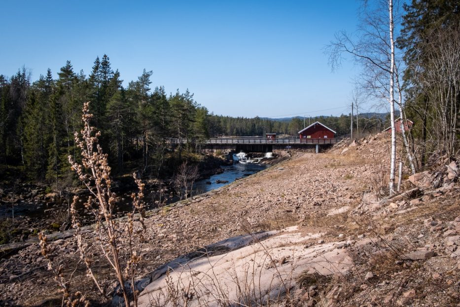
Further on, to Ullevålseter, the roas is also pretty easy for most to walk on.
Maridalsalpene (Midtkollen nature reserve)
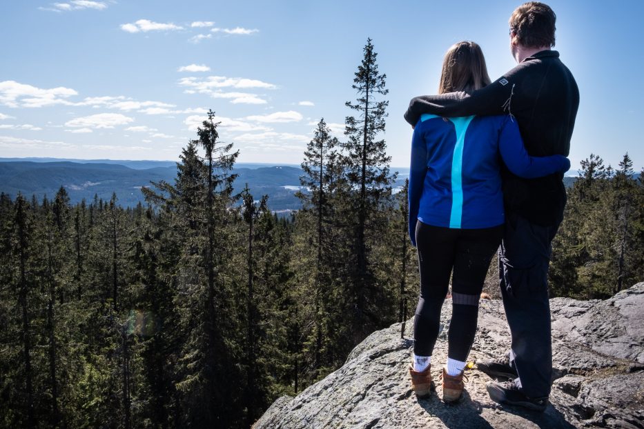
Maridalsalpene might sound a bit more exotic than it is, but boy is it gorgeous here. Here you can find several hills to “climb”, with Gaupekollen, Midtkollen and Mellomkollen being the “most famous” ones. While hiking it’s nice to stop for a break at either Tømtehyttene, Tømte Gård or Liggeren.
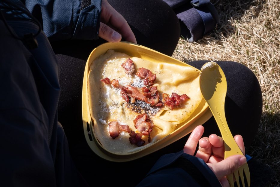
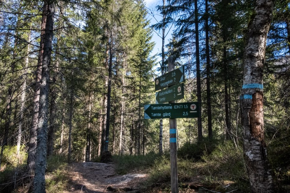
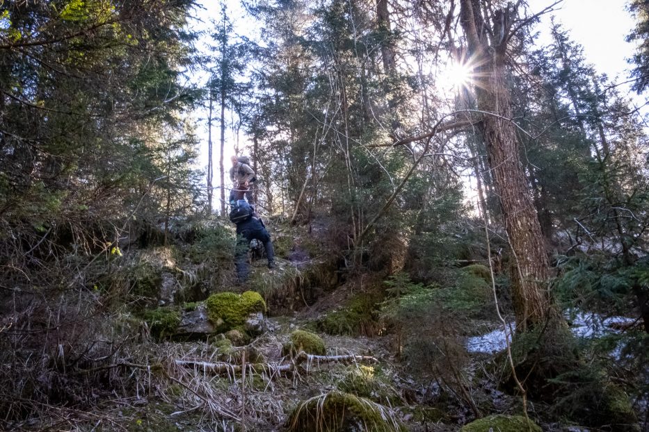
We used this trip as our inspiration, and ended up with an hour hanging out in our hammocks next to the lake Øyungen, before walking down to Skar (follow the signs) and caught the bus back home.
Note: From Liggeren you’ll walk down to the lake Øyungen, before walking down to the parking spot (where the bus also goes from). Google cannot seem to find this road on it’s map, but it’s marked up next to your path.
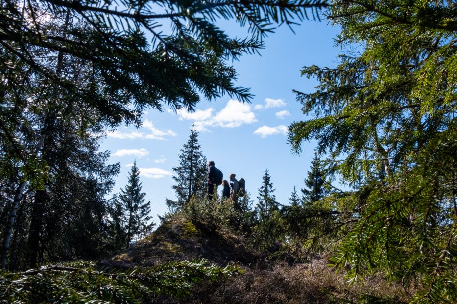
In Maridalen you can also visit Øyungen and Fagervann, both great places for hiking, having a break or spend the night camping.
You can also experience some history in Maridalen. You can visit the ruins in Maridalen (in which the theatre “Maridalsspelene” is arranged normally yearly during summer), and also see the plane wreck at Movatn
How to get to Maridalen
For more about Maridalen, see this post I’ve written earlier.
Peaks with panoramic views in Oslomarka
Vettakollen
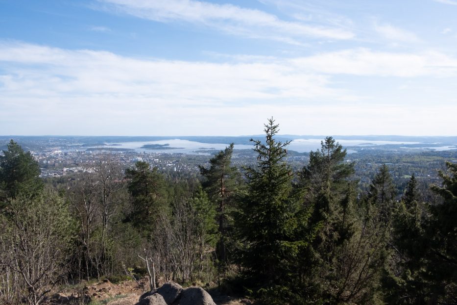
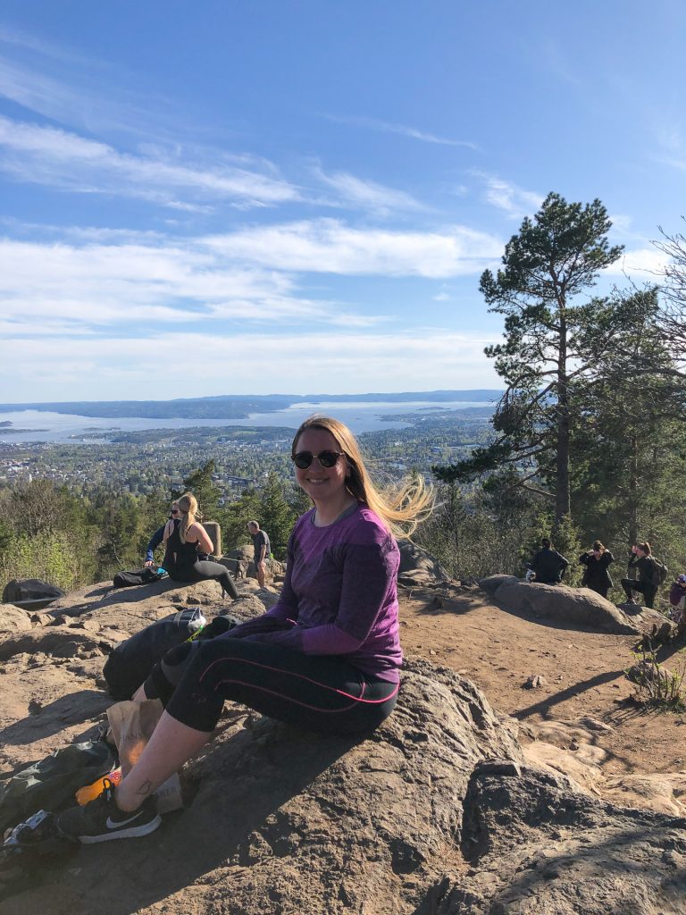
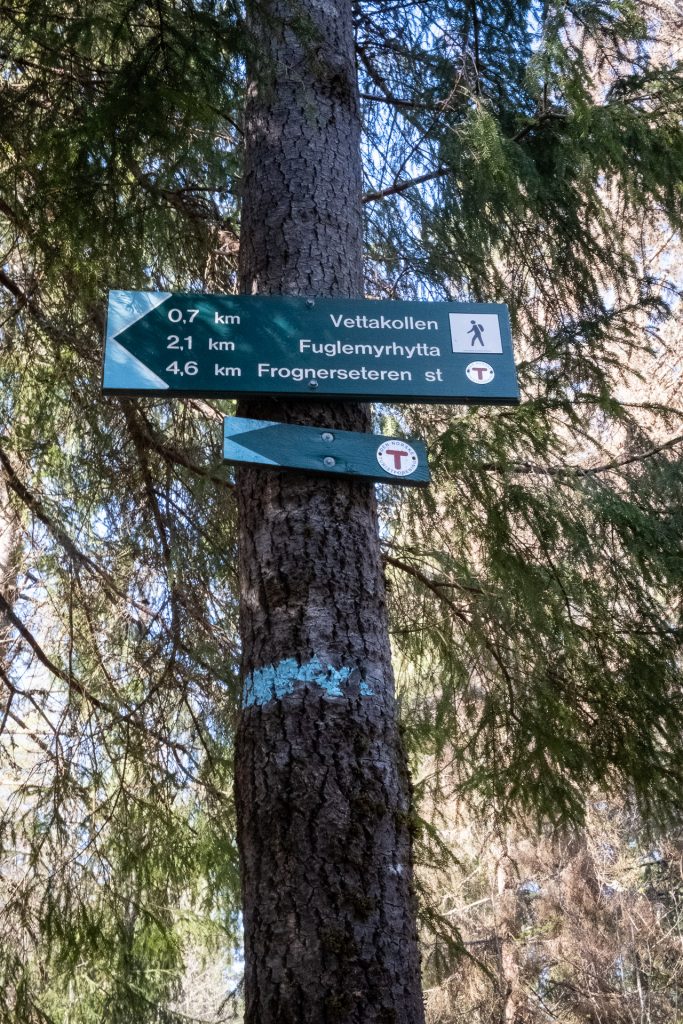
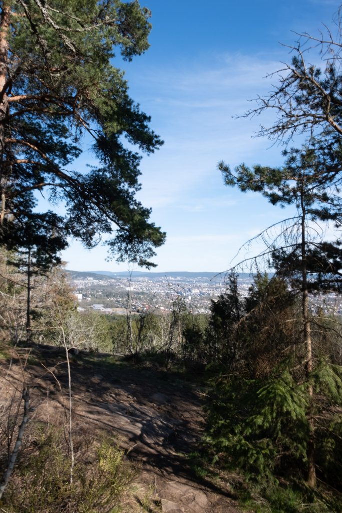
Vettakollen is a peak based just about between Holmenkollen and Sognsvann. Here you can overlook the ski slop at Holmenkollen, and enjoy a gorgeous view out over most of Oslo. The hike can be done rather short or longer, depending on what you want.
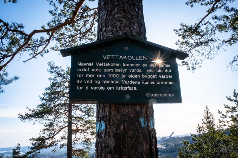
Note that this is a popular peak which many people will visit, so try to visit outside the hours when everyone else visits to avoid the crowd.
How to get to Vettakollen
Catch the metro no. 1 Frognerseteren to Vettakollen station. From here, follow the signs. Gorgeous view from the top, both directly towards Holmenkollen and out towards Oslo. From Vettakollen station and to the peak it’s about 1,2 km. Remember that this is just uphills. We used about 30 mins up (walking slowly and making a few photos on our way). We also met a lot of joggers on this trip.
For a longer trip back continue over the peak, and follow the blue marks towards Sognsvann.
Total lengths: 8,4 km
Grefsenkollen
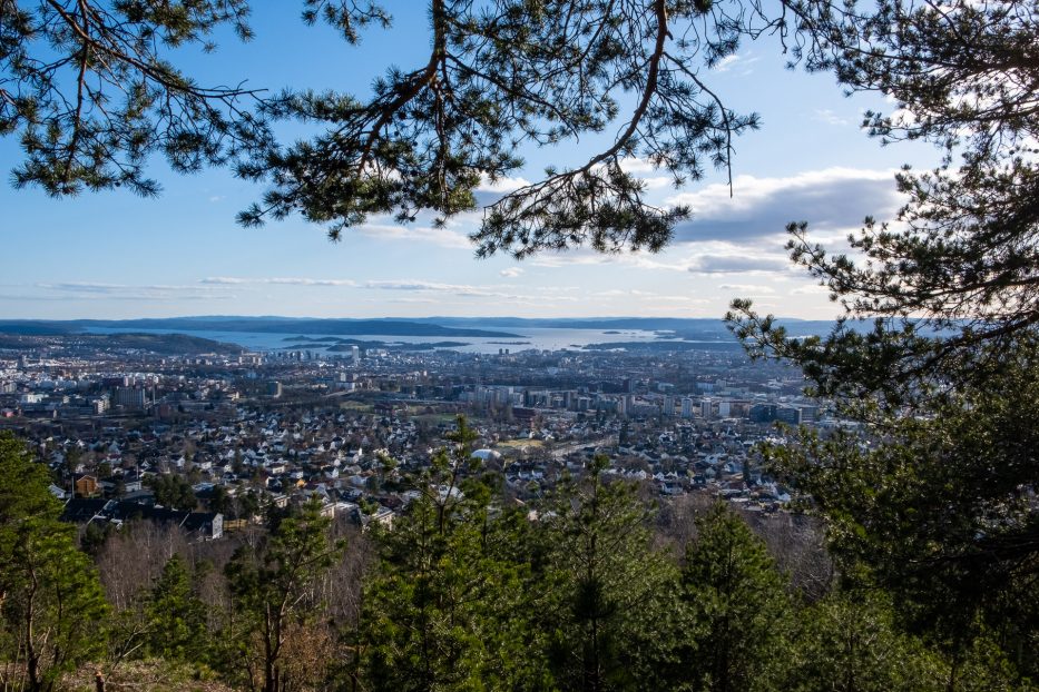
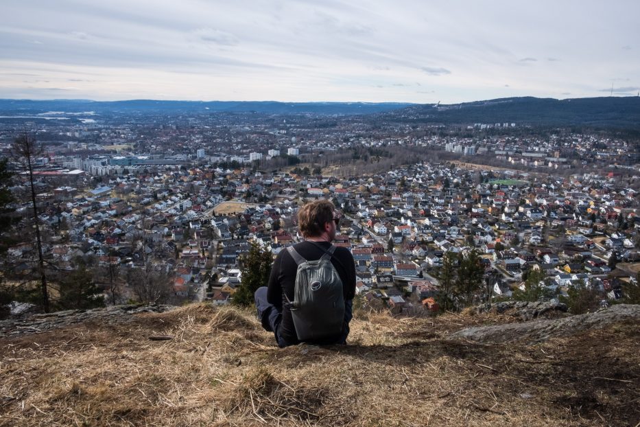
Grefsenkollen gives you a great view over Oslo. From here you can see both the city, the forest and the Oslo fjord. This is a great trip on it’s own, but can also be a starting point for other hikes in Marka. Here you can also find Grefsenkollen restaurant, and in the forest you’ll find Uteliggerhytta (which I have yet to see, but it’s on my list!)
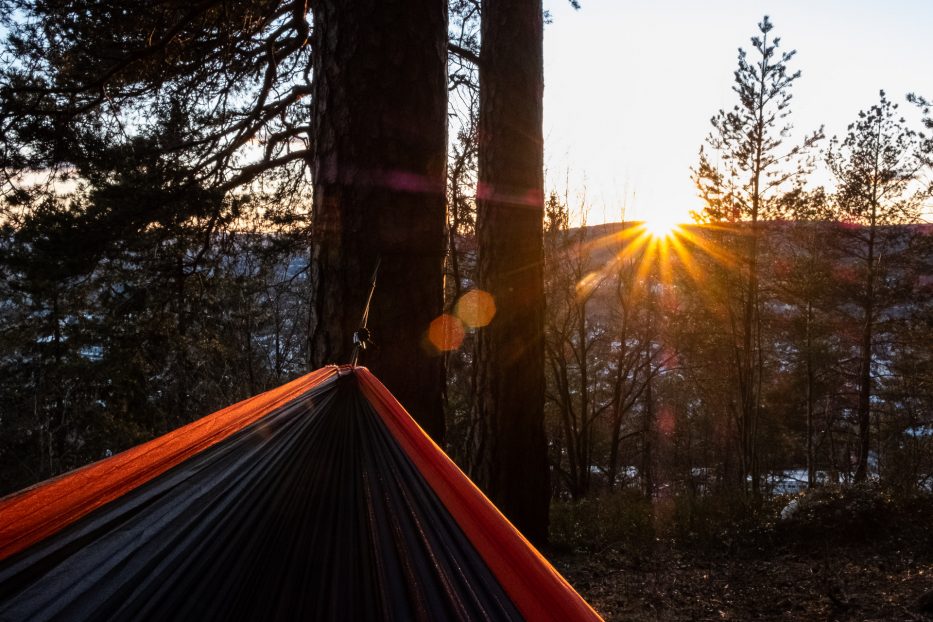
How to get to Grefsenkollen
You can get to Grefsenkollen in many ways, depending on your starting point. If you walk from Storo metro you’ll get about an hour of walking each way. From here you can catch the bus no. 56 Solemskogen to Trollveiskrysset. This hike is a bit steep, and with some challenges, but nothing more than that we saw a lot of kids also doing it.
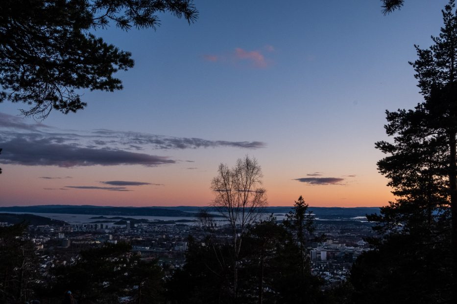
Kolsåstoppen
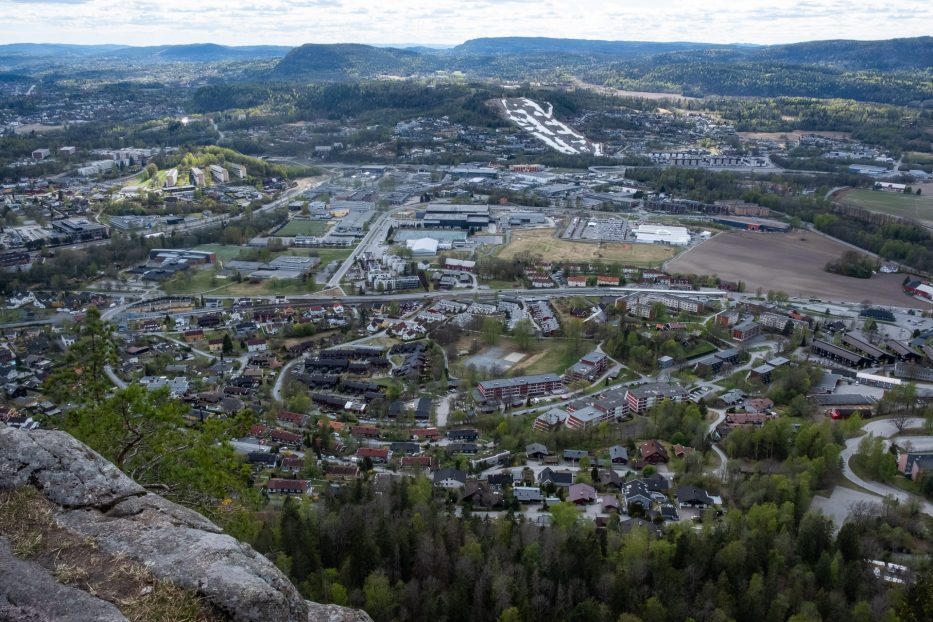
Kolsåstoppen is actually just not a peak – here you’ll climb up on the remains of what used to be a volcano! The peak can be enjoyed from two sides, the steep North, which is a paradise for climbers, and the South, who’s more suitable for most people, but which won’t give you any less of a view.
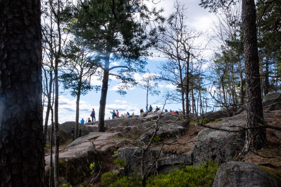
On this hike you’ll get to experience both Bærumsmarka and Oslomarka. The view from the top is a treat, with amazing views over both Oslo and Bærum. There’s several ways to get to the top also here, depending on if you want to walk on bigger roads or smaller paths. If you’re like us, and don’t like backtracking the same road, you can continue over the peak and walk down to Kolsås metro station, where the metro takes you back to the city.
How to get to Kolsåstoppen
If you want to follow the bigger road, catch the metro line no. 3 Kolsås, and get off at the station Hauger. The rest of the road you can see here:
Or you can follow the description here. (Norwegian). We chose the smaller path, and left the metro on the station after, Gjettum station.
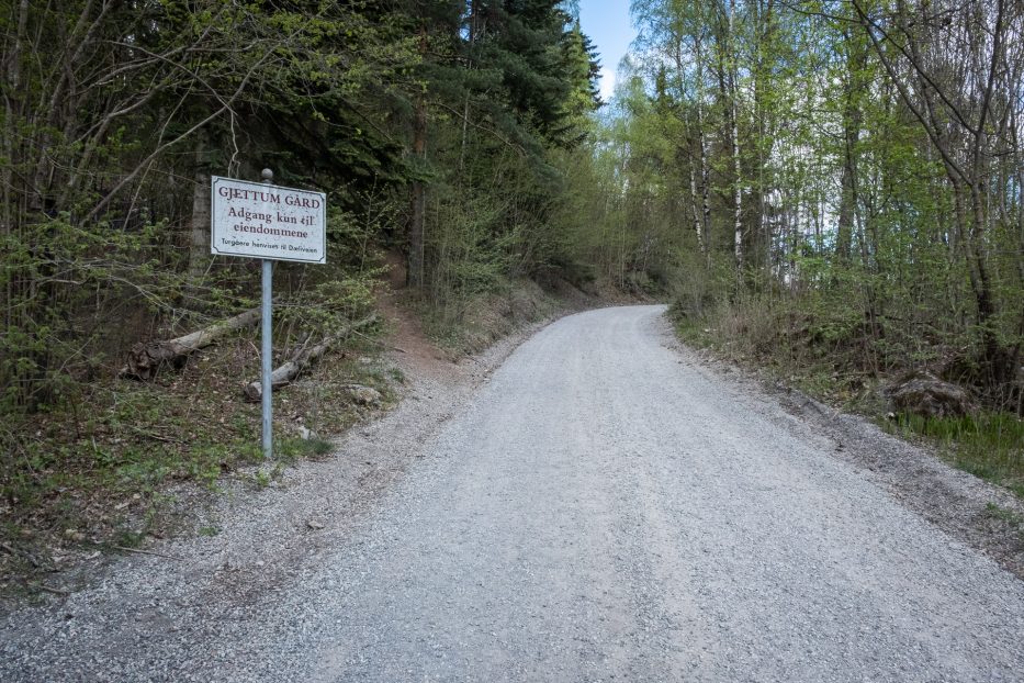
From Gjettum metro station you’ll walk up Gjettumveien, and in on Hvitveisstien, which at some point changes name to Blåveisstien. From here on, walk to the right to Levretoppen, and take the gravel path in to the left (when you see the signs to Gjettum gård). Follow the signs up to S. Kolsåstopp (marked with blue).
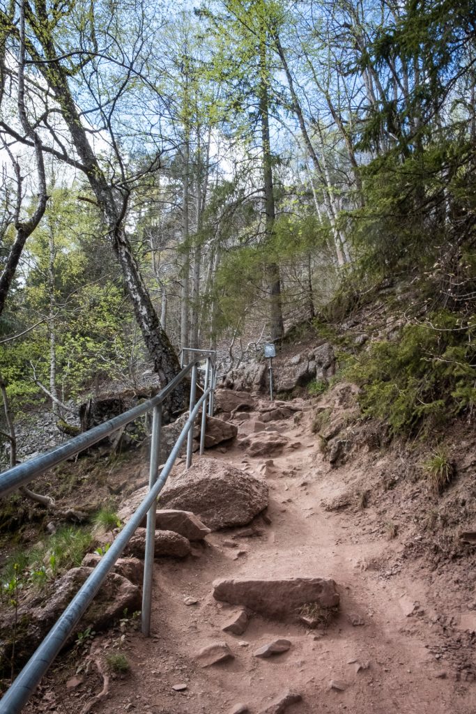
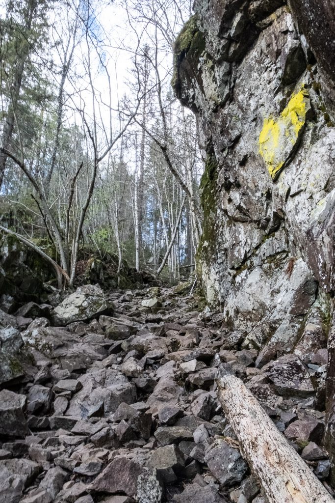
Note that there’ll be both steep parts (with fences) and some rocky parts you’ll have to walk in. This is not a very long trip, but it is a bit challenging. However, it’s not too hard or dangerous, and we saw several families with kids do this.
Do you have any favorite day trips in Oslomarka you wanna share?
Please leave a comment!


Leave a reply